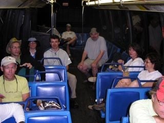
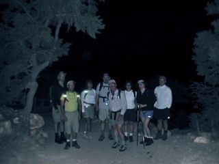
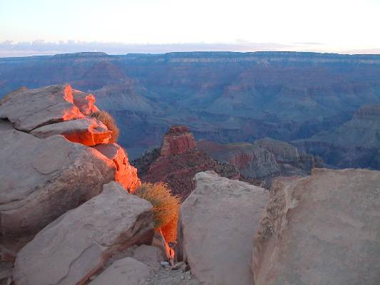
Here we are - barely awake and not knowing what is ahead!
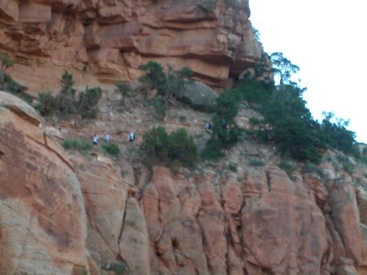
Immediately, we were exposed to the grandeur and scope of the Canyon. Here is a picture taken only 5 or 10 minutes from the trailhead (#10 on map).
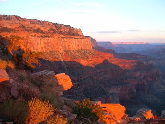
Dawn finally breaks as we look at O'Neill Butte in the distance (between #12 & #13 on map).
Looking at Ooh-Aah point (#15 on map).
Here are a couple of pictures from our first rest stop, Cedar Ridge (#18 on map), about 1.5 miles into the hike. At this point, a man came over to show his amazement at how much I was sweating. We found out that he (at 73) was hiking down with his 78 year old brother!
The trek continues...notice how far we have already descended into the Canyon. By the way, in the bottom left corner you can see some of Jason's freakin' broken ankle!
.jpg)
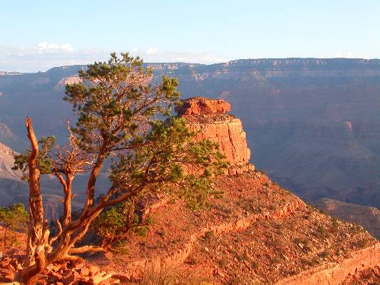
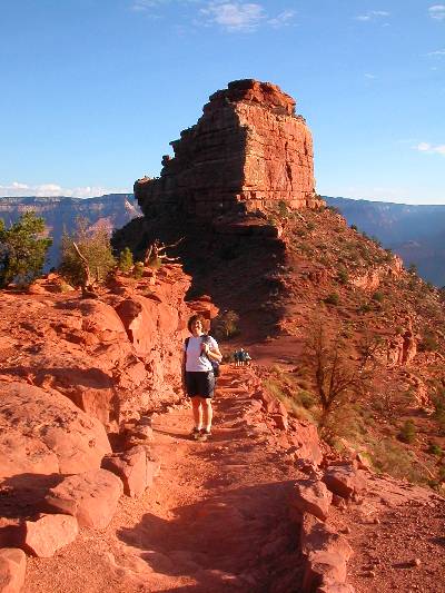
Arriving at O'Neill Butte, Jill is having way too much fun (#27 on map)...
.jpg)
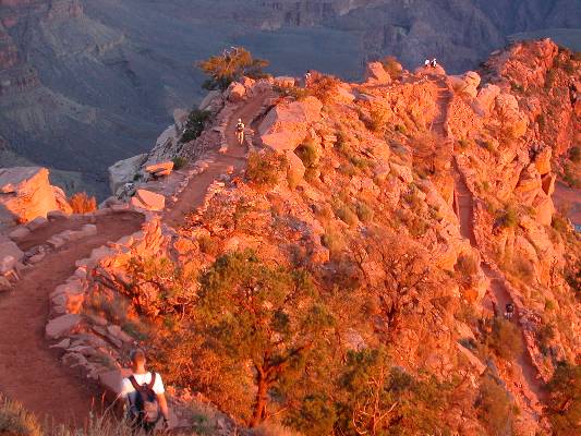
Time to make the final descent onto the Tonto Platform. Notice below that nothing can be achieved in the Canyon without switchbacks. Switchbacks are your friend (#41 on map)!
.jpg)
But we are not done yet! We still have to hike down the Inner Gorge and cross the Colorado river.
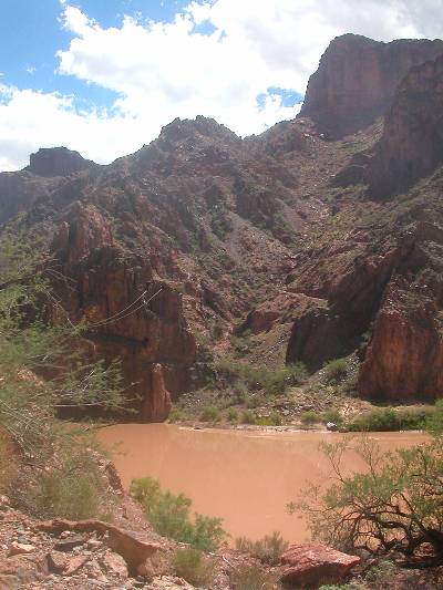
Here is a picture from the top of the Inner Gorge (#57 on map), showing the Colorado and Bright Angel Canyon (that is the ribbon of green heading north and it houses our final destination - the Phantom Ranch).
.jpg)
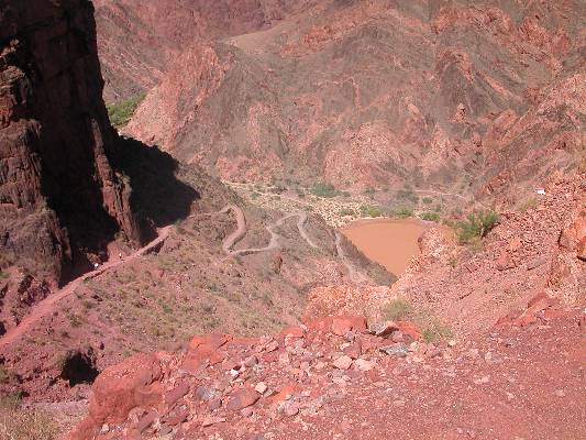
Remember what I said about switchbacks being your friend (#66 on map)!
Finally! We have reached the bottom and crossed the Colorado river (#78 on map). Now only another mile to go until Phantom Ranch. But boy, it is a long, long, long final mile!